Control Network Establishment
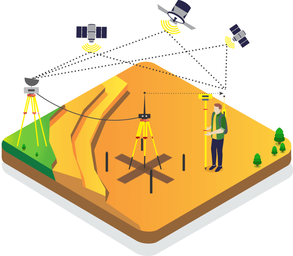
Key to success! The control network establishment survey is a tedious and important process to identify the benchmark position of any particular region or project extent. RVS Land Surveyors with the help of DGPS instruments (Differential Global Positioning System) and technology identifies the key referential benchmark point with data accuracy. The benchmark is the common trustworthy coordinate point important for any project success from the project planning, design, construction, to documentation phases. As the accuracy in benchmarking the project coordinate is the key success to any project, we suggest our clients identify the project coordinate before project commencement to minimize the cost of reworks. Accurate in the benchmark positioning!

Introduction to Control Network Establishment
Control Network Establishment is a foundational step in all types of land surveying projects. It involves setting up permanent reference points on the ground to provide a consistent and accurate coordinate system. These control points help ensure that every phase of the project—from initial mapping to final construction—is based on the same reliable data. This consistency eliminates measurement errors and ensures all teams work with the same reference.
Purpose of Control Networks in Land Surveying
The main purpose of a control network is to maintain accuracy across different sections of a project site. Especially in large-scale developments like roads, railways, layouts, or smart cities, it's crucial to establish a fixed reference system. It allows surveyors, engineers, and planners to work in alignment throughout the life of the project. A properly designed control network ensures efficient layout planning, design integration, and error-free execution.
Process of Establishing a Control Network
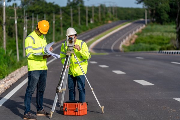
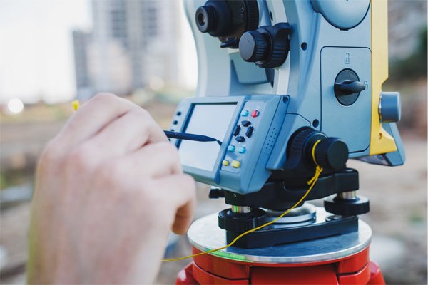
At RVS Land Surveyors, we begin by assessing the project area and its specific needs. Based on the project scope, we select appropriate equipment and methodologies. We use a combination of GPS/GNSS Receivers, Total Station, and Digital Levels to collect precise data. Once the reference points are established, they are permanently marked and recorded. The final step includes documenting the coordinates and preparing digital outputs for integration into design systems.
Equipment and Technology Used
We rely on modern, well-calibrated instruments for accurate control point establishment:
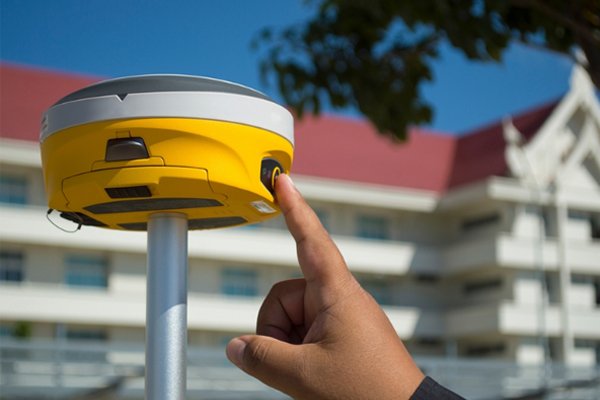
- GNSS Receivers for satellite-based positioning
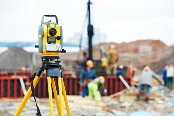
- Total Station for precise measurement of distances and angles
- Digital Auto Levels for elevation benchmarking
- Survey Software like CAD, Civil 3D, and GIS platforms for processing and sharing the data
This combination ensures both field accuracy and digital compatibility with all major design and planning systems.
Deliverables You Receive
Once the control network is established, we provide the client with:
- Coordinates of all control points (latitude, longitude, elevation)
- Field sketches and reference maps
- CAD drawings and GIS-compatible files
- Traverse reports and adjustment records
- On-ground permanent markers at control locations
These deliverables help maintain survey consistency throughout the entire project duration.
Frequently Asked Questions - Control Network Establishment
What is Control Network Establishment in land surveying?
Control Network Establishment refers to the process of creating a series of fixed reference points on a site. These control points are used as the base for all survey measurements, ensuring accuracy, consistency, and alignment throughout a project.
Why is a control network important for large projects?
A control network ensures that every phase of a project—whether it’s design, layout, or construction—is based on the same reference system. This helps avoid costly errors, rework, or misalignment during the development process.
What equipment is used to establish control networks?
Surveyors typically use modern instruments like Total Stations, GPS/GNSS Receivers, and Digital Auto Levels to establish control networks. These tools help in achieving precise measurements of position and elevation.
Where is control network establishment commonly used?
Control networks are commonly used in:
- Road and highway projects
- Metro rail and tunnel alignments
- Industrial and layout developments
- Large topographic and cadastral surveys
- Smart city and infrastructure planning
How long does it take to establish a control network?
The time required depends on the size and complexity of the site. A small site may take a few hours, while large-scale infrastructure projects could take several days. We ensure timely delivery without compromising on accuracy.
Are your control network surveys accepted by government departments?
Yes, our surveys are carried out by licensed professionals and follow industry standards. The output is compatible with municipal, PWD, DTCP, and other government authorities’ requirements.


