Subdivision and Layout Design Survey
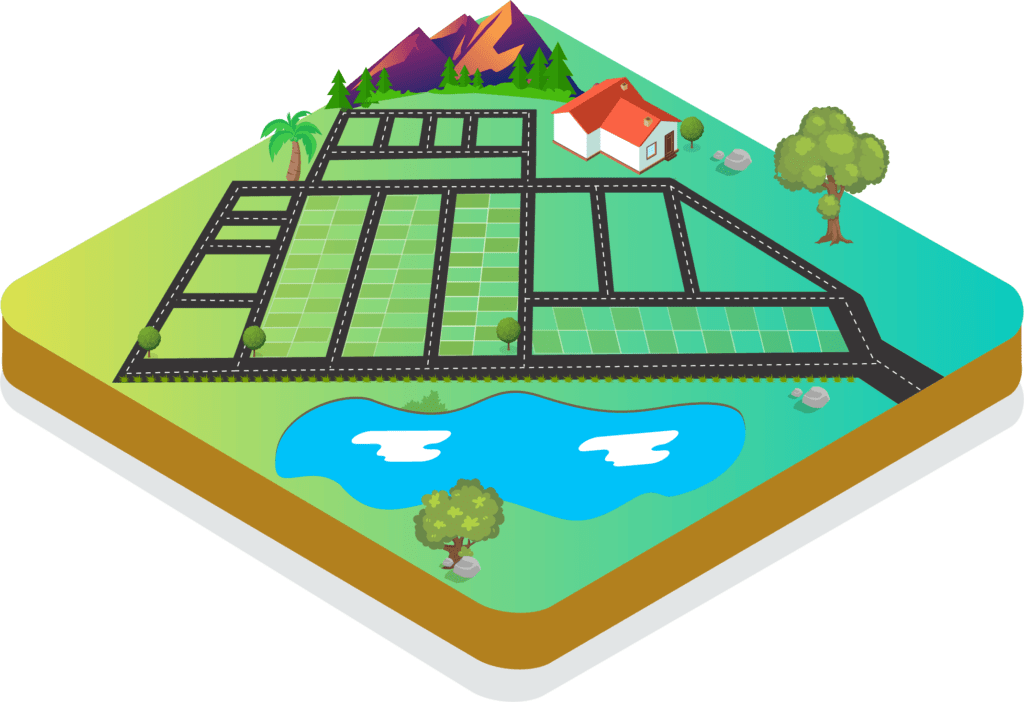
Ease out your property stress! It is been customary to hold up with the selling out or dispersing of huge property areas. RVS Land Surveyors help out to subdivide and form layouts without any loss on the property valuations. We focus on analyzing the surface area of any land with the perspective of gaining profit without any loss or damage to the existing and the neighboring property extents. Subdividing and layout of the huge family property extent can be sorted out at ease with the proper planning and design implementations. Maximize the profit avenues with proper planning!
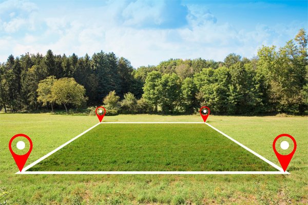
Introduction to Subdivision and Layout Design Survey
Subdivision and layout design survey involves the process of dividing a large piece of land into smaller plots for development purposes. This survey is essential when planning residential layouts, commercial areas, or industrial zones. It helps define individual plots, road alignments, drainage systems, open spaces, and utility zones within a land parcel.
Purpose of Subdivision Survey
The primary purpose of a subdivision survey is to ensure the land is divided accurately and in accordance with local development regulations. It allows landowners and developers to convert large land areas into properly marked, usable plots that can be sold, registered, or developed with clear boundaries and access routes.
Process of Layout Design Survey
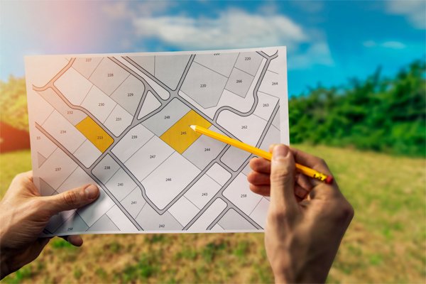
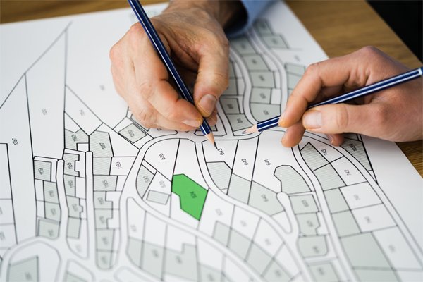
The layout design survey begins with a detailed field survey of the total land area. Boundaries are verified, and the natural terrain is studied. After that, a layout is prepared showing roads, plot divisions, open spaces, and other features. The design is then marked on the ground using survey instruments for further development or approval.
Tools and Equipment Used
To carry out accurate layout design, instruments such as Total Station, GPS receivers, and digital measuring tools are used. These tools help in measuring distances, angles, and setting out the exact position of roads and plot boundaries as per the layout plan.


Applications of Layout Surveys
Layout surveys are commonly used in residential plot developments, industrial layout planning, institutional campus design, and land conversion for real estate projects. It is also required for government approval of new layouts and subdivision of agricultural lands into smaller parcels.
Benefits of Subdivision and Layout Survey
This survey helps in proper land utilization, avoids future boundary disputes, and ensures that the development follows regulations. It provides a structured approach to land development and supports legal processes like patta transfer and registration.

Frequently Asked Questions – Master Planning Support Survey
What is a Subdivision and Layout Design Survey?
It is a type of land survey used to divide a large piece of land into smaller plots or lots. The survey includes planning for roads, drainage, open spaces, and utilities within the layout.
When do I need a subdivision survey?
You need a subdivision survey when you’re planning to split a land parcel into multiple plots for sale, development, or registration, especially for residential or commercial purposes.
Who approves layout designs in Tamil Nadu or other states?
Local authorities such as DTCP, CMDA, municipality, or panchayat unions are responsible for approving layout designs, depending on the location of the land.
What are the main steps in a layout survey?
The steps include field survey, preparation of layout plan, marking of plots and roads, and submission for government approval.
What instruments are used during this survey?
Total Station, GPS receivers, and leveling tools are used to ensure accurate measurements and ground markings during layout surveys.
What will I receive after the survey is completed?
You will receive a detailed layout plan showing plot sizes, boundary lines, road widths, and open spaces. This can be submitted for approval or used for registration and development.
Can you assist with land use conversion and patta transfer?
Yes, we assist clients not only with the survey but also with layout approval, land use conversion, and patta transfer processes.


