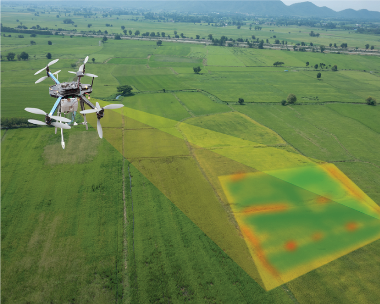
Introduction
Land being one of the most promising investments of time should be valued and surveyed accurately. However, most field maps and documents have a slight variation in the area. This could be due to various reasons, like manual errors and minor negligence.
Here is an incident of one of our clients Mr Tulsi Kumar who bought land of about 2.45 acres near Kodanad in Kothagiri and faced similar issues. Before purchasing the land, he wanted to survey it. So with the help of a few engineers in his locality, he surveyed the land and got a report which said that the area on the field matched with the area in the document. As there were no queries or issues, Mr Tulsi Kumar happily purchased the property and soon approached an architect to plan for a villa on this land.
Since it was hilly terrain, the architect required a topographic survey map. The architect referred us to him to do the survey. We conducted a digital survey and found that there were only 2 acres on the field instead of 2.45 acres. Mr Tulsi Kumar was furious as he could not accept the fact that he was being cheated of 0.45 acres. He was also confused after whose survey to believe since he had no idea or knowledge in this field. It took us 2 to 3 meetings and a few site visits to make him understand the calculations and other technical data. Now Mr Tulsi Kumar knows how to calculate the area of land on hilly terrain.
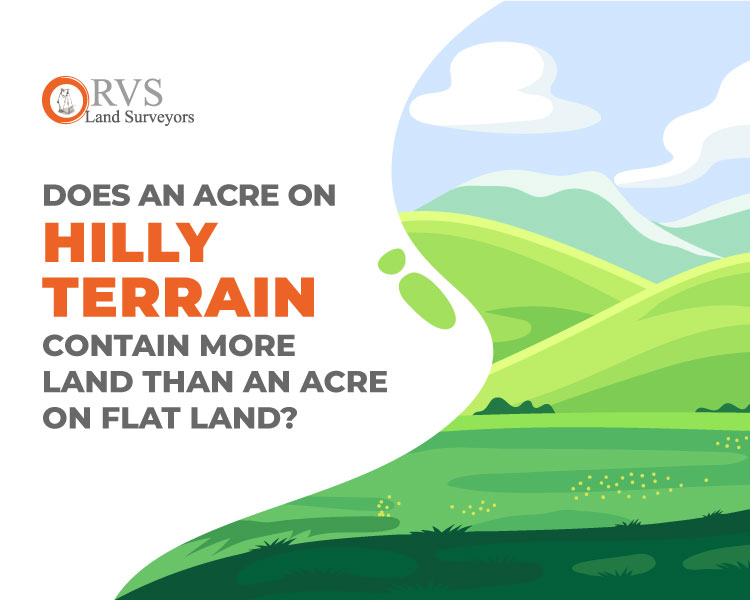
Does an acre on hilly terrain contain more land than an acre on flat land?
Every acre contains the same size of land irrespective of being flat, steep or bowl-shaped. However, not every measured area contains the same ground surface. In other words, you need a bigger quilt to cover an acre on hilly terrain than one to cover on flat land. But an acre is not measured according to the quilt size. Before we get into such technical stuff, let’s brush up on a few basic concepts. Firstly how much is an acre and how was it defined exactly to 43,560 square feet.
Ancient Acre – 43,560 Square feet:
In ancient times, the area of land that could be ploughed by oxen in one day was defined as an acre. This ancient acre of land initially had specific shape and dimensions, mostly rectangular. The length was determined by the number of oxen that could plough the field continuously without resting. This furrow-long by the accent became the Furlong, standardised to be exactly 40 rods or 10 chains (660 ft). This determined the long side of the rectangle, and the short side of this one-acre rectangle was 4 rods (66 feet). Multiply both sides will get the area of the rectangle, i.e. 43,560 square feet or an acre.
Ancient acres were long and narrow due to the difficulty in turning the plough. But an acre need not be the rectangle. It is fixed at 43,560 square feet but has no specific length, width, or shape. Its sides’ number and size can be anything, just so long as the total area bound equals 43,560 square feet. Before measuring an acre on a hilly terrain first we need to understand what is slope distance and horizontal distance.
Slope distance:

Fig. Slope Distance
The slope is the gradient or incline of the land. A slope can be steep or gentle depending upon the incline. Mathematically, the slope is defined as “the rise over the run“, in which the rise is the vertical distance, and the run is the horizontal distance.

For example, A 6% slope means that the hill gains 6 feet in elevation (rise) for every 100 feet of horizontal distance (run) (Figure).

Note that the actual distance is the hypotenuse of the illustrated slope triangle. The length is called the slope distance. Slope distance is always longer than the horizontal distance and vertical rise. Percentage slope is unitless and hence can be applied to any measuring unit (feet, yards, metres etc.) and to any length.
A one-to-one slope
Climbing straight up on 100% slope will lead to a 45° slope and not a 90° slope.


A 100% slope has a vertical rise of one foot for each foot of horizontal distance. It a 45° slope. In Surveying, it is called a one-to-one slope. Figure graphically illustrates how slopes of various gradients look when drawn in cross-section.

Fig. Graphic presentation of slope steepness as related to per cent slope.
Measuring horizontal distance on the hill:
In surveying, horizontal distances are considered rather than slope distances. Because the horizontal distance between two points does not change even if the ground is disturbed. If the surveyor uses slope distances, then the distance between objects and places would change every time the gradient changes which would be inappropriate.
In practice, property boundary lines are not measured as the actual ground distance between two points on the ground. They are typically measured as the horizontal distance between those two points.

Fig. Horizontal distance measurement
The above figure shows the relationship between horizontal distance and slope distance. The slope distance is always greater than the horizontal distance, which means, greater the slope greater the difference between horizontal and slope distance. If great precision is not required in a few cases and the slopes are not steep, you may use a measuring tape to measure the slope distances. It is practically more comfortable to lay the measuring tape on the ground than use a plumb bob to measure distances. Table 1 shows the effect of using slope distances for various slopes.
TABLE 1
Converting Slope distance to Horizontal distances
Horizontal Distance if Slope is:

Breaking tape procedure:
Taping on the sloping ground often requires the use of the “breaking tape procedure”. A 100 feet long cannot be held horizontally without plumbing above chest height, and you must measure shorter distances.

Fig. Procedure for breaking the tape
In the above example, the tape zero points are held at point A. The steep slope limits the first distance to about 30 feet which are marked as point B. At this point, the tape is held horizontally straight at chest level or waist level. After marking point B, the person from point A moves to point B and initiates the second measurement with the tape on the ground. Whereas the person from point B moved ahead to point C and the vertical height at point C can be at waist level or chest level again depending on the slope’s steepness. Here we have marked point C at 45 feet in the diagram. The same process is repeated for the final segment, point C. The individual measurements must be totalled up for the absolute distances
An acre on a hilly terrain:
Whatever the shape of a parcel-or the topography of the land it contains – surveyors calculate its acreage based on a two-dimensional standard surface plan projected onto the ground. In most boundary surveys, for parcels less than a few hundred square miles, it is considered a horizontal plane. Even in hilly terrain, the acreage is calculated as if the hills were cut off at the horizontal, parallel to the horizon. Because the slope line that runs along the downhill is no longer than a horizontal line above the surface between the same two points, an acre of hilly terrain has a greater surface area than an acre of flat land. Actual surface areas exceed map acres according to the steepness of the terrain. Table 2 shows the degree to which surface acres exceed map acres according to the slope gradient.
Table 2: Percent slope, a corresponding degree of slope, and per cent increase in surface acres over horizontal map acreage.

Areas having 40% to 75% slope gradient are common in the western hilly terrain. Surface acres on the slope gradient exceed map acreages by 25%. Very steep areas have low gradient over 75% are less common but do occur over sizeable areas.
Cultivation area:
Does sloped land have more trees per acre because it has more surface area? Maybe a moderate slope on a decent soil contains more trees and produces greater yield per acre than a similar acre of flat land. But the growth of the tree also depends on other factors like sunlight, air, soil temperature, precipitation, soil moisture etc, all of which are important for the establishment and growth of plants.
Conclusion:
An acre of land measures the same on hilly terrain and a flat surface. But the surface area may differ for both, that is the surface area on hilly terrain is more than that of a flat surface. Hence there will be better chances of cultivation on an acre of hilly terrain then a flat land.