The global green agenda has never been more in focus, with the COP 21 conference due to take place in Glasgow, the UK in November 2021 and the United Nations supporting the Paris Climate Change Agreement which compels world leaders to look at the impact of modern life on the natural world and seek ways to reduce the impact of humanity on our planet.
31% of global biodiversity depends on forest ecosystems, making forestry one of the most important aspects of protecting the environment for future generations. And drones in forestry are having a huge impact on managing and protecting areas of forest across the world.
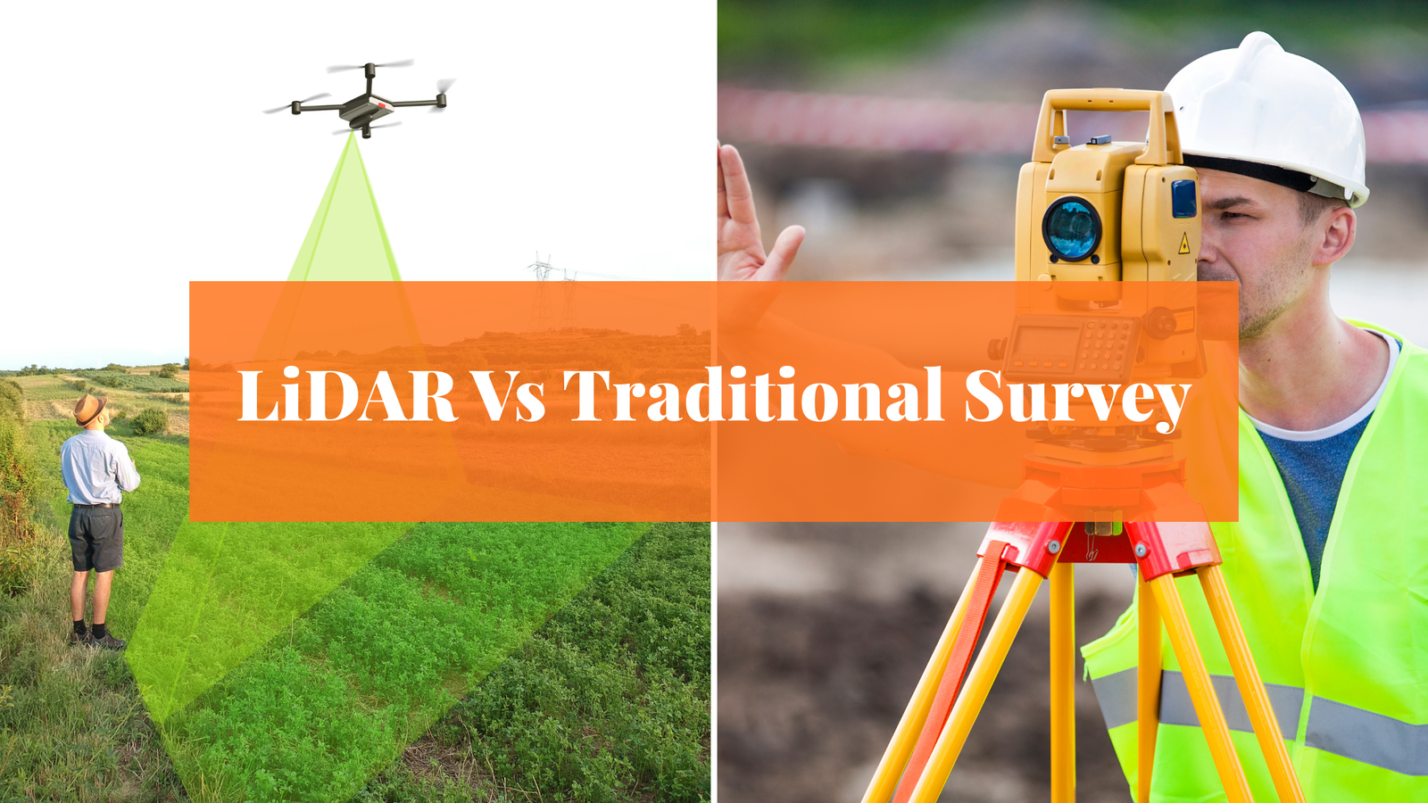
Why use drones in forestry?
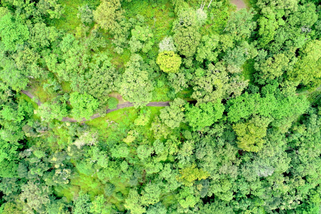
Forests cover vast areas of land and are home to many species of plants and animals. Due to the sheer size of many forested areas, monitoring natural changes and nefarious practices can be a painstaking and time-consuming task. The amount of human and machine resources required has traditionally made forest management a tough and expensive task. Manual inspection of forests has been a huge undertaking fraught with danger and with the potential to disrupt wildlife in forests.
The recent introduction of drones in Indian forestry has been welcomed by authorities who are able to monitor from afar and make informed decisions on where and when to deploy the limited resources available, and by the natural world which is afforded the opportunity to develop and grow with less human intervention.
Drones are used in aerial surveillance, mapping, photography, thermal imaging, and topography to provide high volumes of data that allow experts to build an understanding of the current state of forests that is far superior to anything they have previously had at their fingertips. This information can be used to drive conservation schemes, ecology balancing, and many other aspects of forest management.
Benefits of drones in forest protection
Drones in forestry help monitor tree health and track the location and migratory behaviors of wildlife. Traditional methods of tree monitoring involved being on location and manually measuring various aspects of each tree before sending the information to be analyzed. Drones in forestry have not only made the process of collating the necessary data far more efficient, but they have also led to faster, more accurate results.
These results are used to identify the health of trees at tress at the time of monitoring and also to make predictions for the future using artificial intelligence and machine learning. The speed and quality of the data capture are, therefore, crucial in making accurate and timely decisions. The application of drones in forestry also means that, where issues are reported, those areas can be remotely monitored as often as is required without taking resources away from other vital areas of forestry management.
Using infrared imagery, drones provide clear pictures of animal locations, even in the deepest areas of the forest. Detailed information about the movements of wildlife is crucial information in tracking their habitat, spotting potential changes in behavior that may indicate other environmental fluctuations, and deterring poachers. Although still in its infancy, drone technology in forest management has already been successful in identifying and countering threats to endangered species.
- The Haryana Forest Department has used two drones to monitor wildlife and prevent illegal activities such as tree cutting, encroachment, and road construction in the Aravalli Range. The drones are equipped with night vision cameras and fly at heights of up to 250m at speeds of 60mps.
- The Government of Maharashtra has deployed drones to enhance the transparency and credibility of forest governance. It approved the use of drones to track the health of forests, encroachments, tree felling, forest fires, poaching, the status of water bodies, biodiversity protection, and mangrove conservation.
- The Government of Tamil Nadu has deployed five drones (in the Nilgiris, Coimbatore, Dindigul, Hosur, and Tirunelveli) equipped with thermal detectors and infrared rays for real-time monitoring of animal movement and to prevent the spread of forest fires. Also, the buzzing sound created by drones at 131 decibels is used to drive away elephants, which normally requires the effort of 50–80 individuals.
- In August 2015, the Union Ministry of Environment, Forest and Climate Change cleared a project by the National Tiger Conservation Authority (NTCA) and Wildlife Institute of India (WII) to deploy drones in select forests around the country for monitoring and surveillance.

Benefits of drones in forest fires
Forest fires are a natural phenomenon that will never be completely eradicated. But drones can help to prevent some forest fires. Deforestation has reduced the amount of forest on the planet and made those areas where there are forests, even more, important to the overall health of the planet. Forest fires can be devastating in terms of loss of vegetation and wildlife, as well as posing a significant threat to nearby towns and cities.
Forest fires are a result of numerous causes and by negating one or more potential risk factors, the likelihood of a fire can be dramatically reduced. Due to their speed and precision, drones are able to scan vast areas of forest to identify potential risk factors and allow forest managers to act early and prevent fires from starting. Once forest fires catch, stopping them is almost impossible and damage limitation becomes the name of the game.
In 2020 during the summer catastrophic bushfires burnt about one-quarter of New South Wales’ Australia’s best koala habitat, an estimated 30% of koalas were killed. Wild koalas in NSW were on track for extinction by 2050. Accurate koala counts are key to successful conservation efforts.
Koalas camouflage well and are notoriously difficult to detect. Traditional methods such as scat surveys or spotlighting with head torches are often considered either too localised, or too labour intensive and costly to efficiently locate and count koalas.
Using heat-detecting drones to find koalas at night is efficient and also save on costs. It will also help better assess koala numbers – a key step in saving the species.

When we fly a drone at night with a thermal and a colour camera, Koalas are visible in a large infrared “blob” in the tree canopy. On average, a koala is 17.1% brighter than the surrounding canopy.
Drones in search and rescue missions
Forests are made up of hazardous terrain among other dangers. When people become lost in dense areas, speed is of the essence in finding them. Conditions can be perilous and lives are at risk. But those same risks and hazardous conditions have traditionally been faced by search parties looking for missing persons. Although they were equipped with tools and protective equipment, the danger could not be completely eradicated and movement was generally slow.
Drones can cover huge areas of ground rapidly and, using thermal imagery, spot people from the air. Combined with detailed topography and real-time assessment of conditions, drones allow rescue and medical teams to make fast decisions and bring people to safety who would otherwise have perished.
Drone technology is far more efficient and cost-effective than any previous forest management tool. It is helping to increase the knowledge of forests across the globe which is vital in making accurate predictions and putting conservation projects in place. Knowledge is power, and forest management teams have never enjoyed such power over the areas of the world they protect.