Introduction
Have you ever wondered how modern architects manage to design buildings that seamlessly blend with their environment while also being energy-efficient and cost-effective? In today’s fast-paced world, traditional architectural methods are being revolutionised by advanced technologies. Among these, Geographic Information Systems (GIS) and Building Information Modelling (BIM) stand out as transformative tools that are reshaping the way architects plan and execute their projects.
By integrating GIS and BIM, architects can create more accurate and comprehensive designs, optimize resource allocation, and ensure that their projects are sustainable and environmentally friendly. This blog post will delve into the fascinating world of GIS and BIM for architects, exploring how these technologies work together to enhance architectural projects. By the end, you’ll have a deeper understanding of how GIS and BIM integration can transform your approach to architectural design and project management, making your work more efficient, innovative, and impactful.
The key takeaways
1. Understanding GIS and BIM: GIS provides spatial and geographic data essential for site analysis, while BIM offers detailed 3D models for building design and management.
2. Enhanced Site Analysis: Integrating GIS with BIM allows for comprehensive site analysis, improving decision-making regarding building placement, orientation, and design.
3. Improved Design and Visualization: Combining GIS and BIM enhances design capabilities by providing realistic views of buildings in their environmental context and allowing for the simulation of design scenarios.
4. Streamlined Project Management: Integrating GIS and BIM facilitates better communication and collaboration among project stakeholders, reducing errors and improving project efficiency.
5. Sustainability and Resilience: Integrating GIS and BIM helps architects design more sustainable and resilient buildings by providing data on environmental factors and enabling better resource management.
6. Effective Asset Management: The integration supports ongoing asset management and maintenance by providing detailed models and real-time spatial data, improving the longevity and performance of buildings.
7. Future Potential: Integrating GIS and BIM is expected to become more seamless and powerful, incorporating AI, machine learning, and new technologies to enhance architectural projects further.
The Basics of GIS and BIM
Before we dive into the integration of GIS and BIM for architects, it’s important to understand what each of these technologies entails and how they independently contribute to architectural projects.
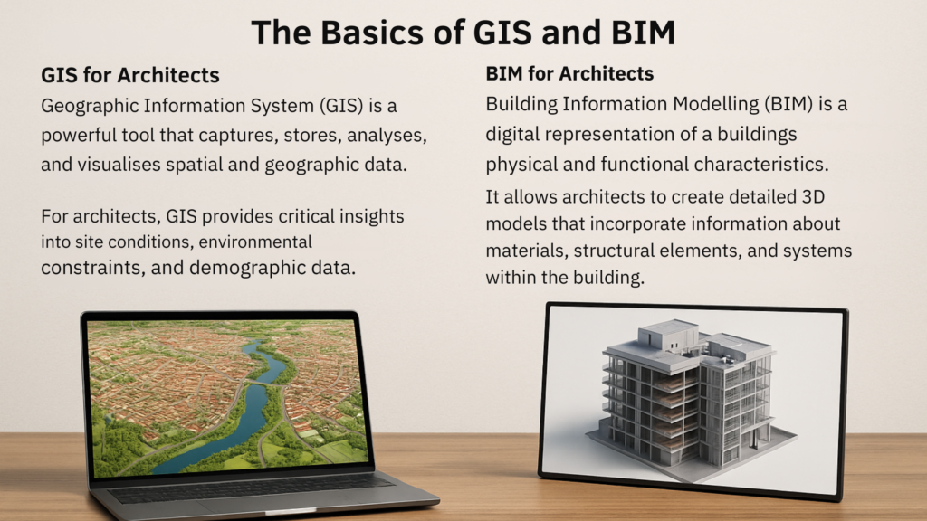
GIS for Architects: Geographic Information System (GIS) is a powerful tool that captures, stores, analyses, and visualises spatial and geographic data. For architects, GIS provides critical insights into site conditions, environmental constraints, and demographic data. It helps in understanding the physical characteristics of a site and its surrounding environment, which is crucial for making informed design decisions.
To Learn more about GIS visit this page storymaps.argis
BIM for Architects: Building Information Modelling (BIM) is a digital representation of a building’s physical and functional characteristics. It is a comprehensive tool that facilitates the planning, design, construction, and management of buildings. It allows architects to create detailed 3D models that incorporate information about materials, structural elements, and systems within the building. BIM enables a more collaborative and streamlined approach to project management, reducing errors and improving overall project efficiency.
To know more about BIM for Architects visit this page autodesk

Integration of GIS and BIM: A Game-Changer for Architects
Enhancing Site Analysis and Selection
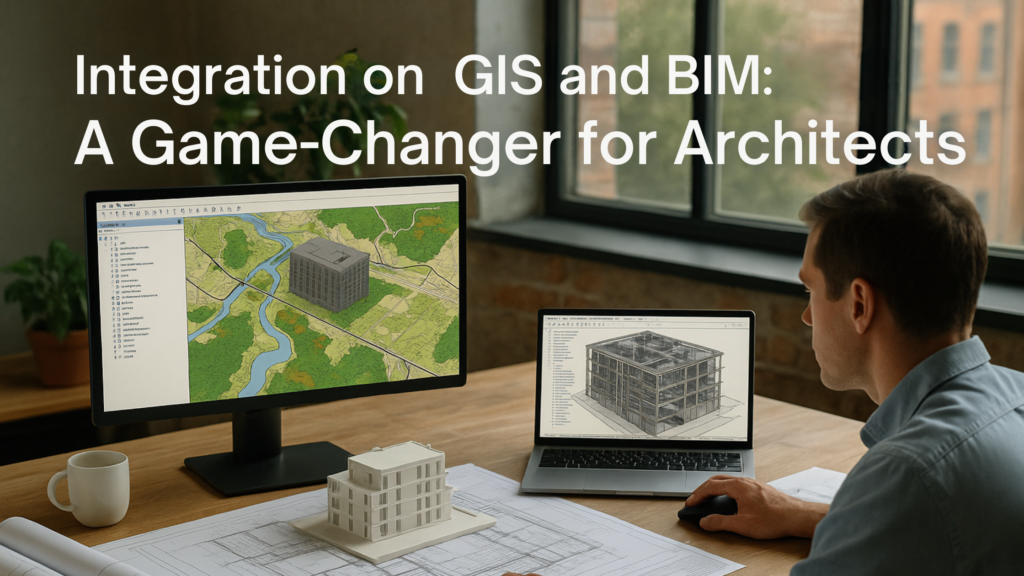
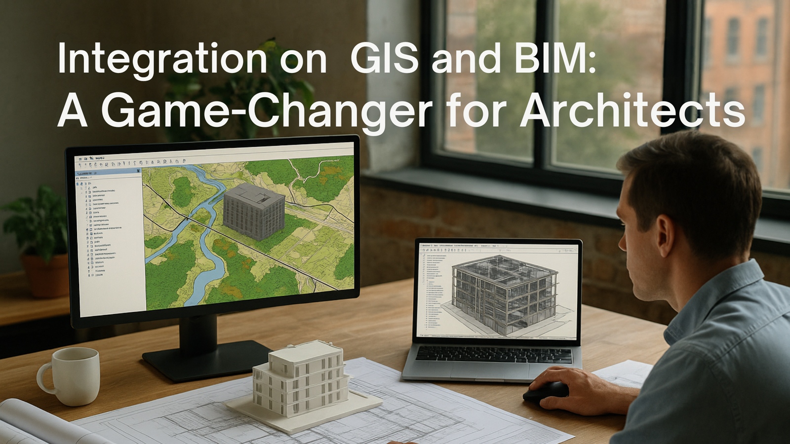
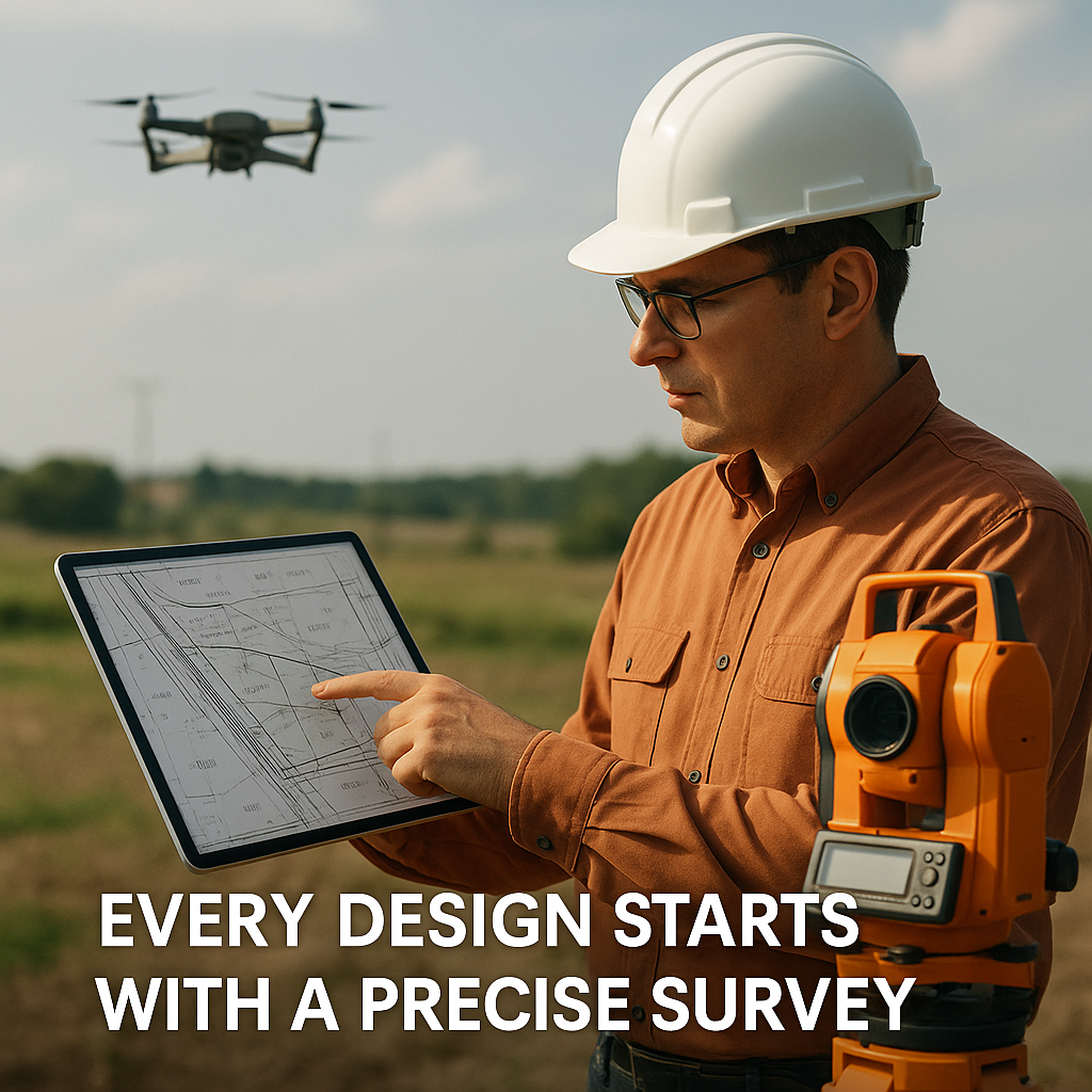
Integrating GIS and BIM for architects provides a comprehensive approach to site analysis and selection. GIS offers valuable data on topography, climate, vegetation, and existing infrastructure. When this data is integrated with BIM, architects can create detailed 3D models that accurately reflect the site’s conditions. This enables better decision-making regarding building placement, orientation, and design elements.
GIS allows architects to evaluate a site more precisely and informally. By combining this with BIM, architects get a holistic view of the site and its potential challenges, such as flood risks, soil stability, and environmental impacts. This integration not only enhances the quality of the design but also ensures that the project is more sustainable and resilient.
Improving Design and Visualization
One of the most significant benefits of integrating GIS and BIM for architects is the enhancement of design and visualisation capabilities. For architects, BIM allows for the creation of detailed 3D models that incorporate various aspects of a building’s design, including structural elements, HVAC systems, and interior layouts. When combined with GIS, these models can be overlaid with geographic data, providing a realistic view of how the building will interact with its environment.
This integration helps architects visualise the impact of their designs on the surrounding landscape and community. It also allows for the simulation of different design scenarios, enabling architects to assess the potential effects of various design choices on the environment and community. By leveraging the combined power of GIS and BIM, architects can create designs that are not only aesthetically pleasing but also environmentally responsible and community-focused.
Streamlining Project Management and Collaboration
Integrating GIS and BIM also enhances project management and collaboration. For architects BIM provides a centralized platform where all project information is stored and managed. This includes everything from architectural drawings and specifications to schedules and budgets. When integrated with GIS for architects, this platform becomes even more powerful, offering real-time access to spatial data and analysis.
This integrated approach facilitates better communication and collaboration among project stakeholders, including architects, engineers, contractors, and clients. It allows for the sharing of up-to-date information and ensures that everyone is working from the same data set. This reduces the risk of errors and misunderstandings, leading to more efficient project delivery and better outcomes.
Enhancing Sustainability and Resilience
Sustainability and resilience are key considerations in modern architecture. By integrating GIS and BIM architects can achieve these goals can be more effectively. For architects GIS provides critical data on environmental factors, such as climate patterns, water resources, and biodiversity. When combined with BIM, this data can be used to design buildings that are more energy-efficient, water-efficient, and environmentally friendly.
For example, architects can use GIS data to analyse the solar exposure of a site and design buildings that maximize natural light and minimize energy consumption. They can also assess the impact of their designs on local water resources and design systems that reduce water usage and manage stormwater more effectively. By integrating GIS and BIM, architects can create designs that are not only beautiful but also sustainable and resilient.
Enhancing Asset Management and Maintenance
The benefits of integrating GIS and BIM for architects extend beyond the design and construction phases of a project. BIM for architects provides a detailed digital model of the building that can be used for ongoing asset management and maintenance. When combined with GIS, this model becomes even more valuable, offering real-time access to spatial data and analysis.
This integrated approach allows for more effective management of building assets, including systems, equipment, and infrastructure. It enables architects and facility managers to monitor the performance of these assets, identify potential issues, and plan maintenance activities more effectively. This not only improves the longevity and performance of the building but also reduces maintenance costs and enhances the overall value of the property.
The Future of GIS and BIM Integration in Architecture
The integration of GIS and BIM for architects is still in its early stages, but it is already showing great promise. As these technologies continue to evolve, their integration is expected to become even more seamless and powerful. Future developments may include the use of artificial intelligence and machine learning to automate data analysis and design processes, as well as the integration of new technologies, such as virtual reality and augmented reality, to enhance design visualization and collaboration.
For architects, the integration of GIS and BIM represents a significant opportunity to improve the quality and efficiency of their projects. By embracing these technologies, architects can create designs that are more informed, innovative, and sustainable. They can also improve their ability to collaborate with other project stakeholders and deliver better outcomes for their clients and communities.
Conclusion
The integration of GIS and BIM for architects is transforming the way architectural projects are planned, designed, and managed. By combining the spatial analysis capabilities of GIS with the detailed modelling capabilities of BIM, architects can create more accurate and comprehensive designs, improve project management and collaboration, and enhance the sustainability and resilience of their projects. As the integration of GIS and BIM continues to evolve, it will offer even more opportunities for architects to innovate and excel in their work. Whether you are a seasoned architect or just starting out in your career, embracing the integration of GIS and BIM can help you stay at the forefront of the industry and achieve greater success in your projects. Do you have any experiences with integrating GIS and BIM in your projects? We would love to hear your thoughts and insights! Leave a comment below and join the conversation.
Call to Action:
Ready to take your architectural projects to the next level? Start exploring the integration of GIS and BIM today and see how these powerful tools can transform your approach to design and project management. Join the conversation in the comments and share your experiences!


