Introduction
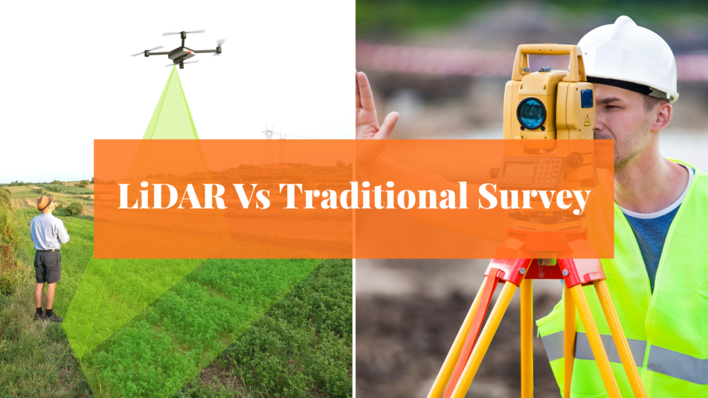
Choosing the right land surveying method is crucial for accurate planning, regulatory compliance, and cost-efficiency. Whether you’re a real estate developer, infrastructure planner, architect, or landowner, the question remains: LiDAR or traditional land survey—which method suits your project best?
Traditional surveys offer legal reliability and on-ground accuracy, while LiDAR delivers rapid, high-resolution data over large or inaccessible areas. In this comprehensive guide, we compare both approaches and help you decide the best fit for your project.
What is a Traditional Land Survey?
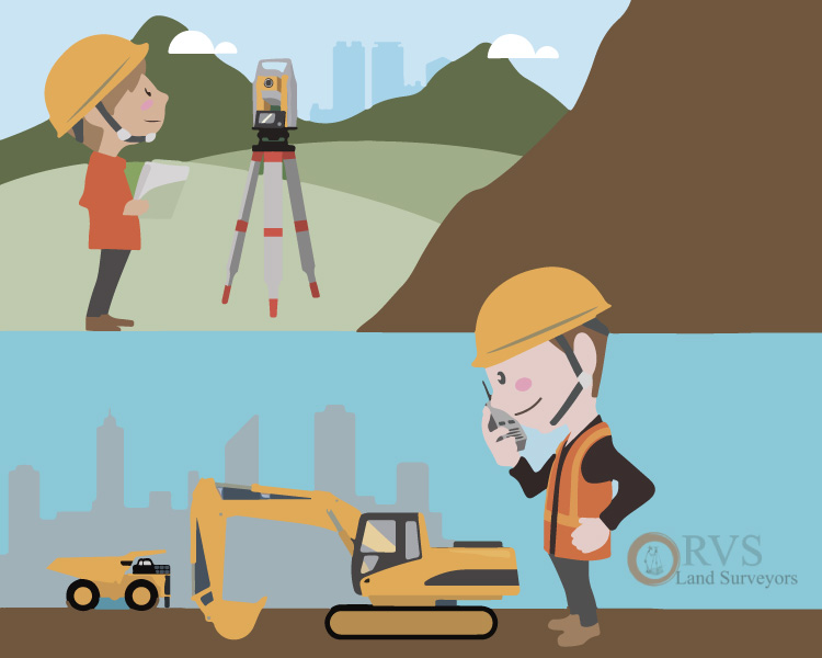
Traditional land surveys rely on on-site measurements using tools like total stations, GPS, theodolites, and measuring tapes. Surveyors physically map angles, distances, and elevations to produce legal documents, maps, and site plans.
Types of Traditional Surveys:
- Cadastral Survey (Legal Boundaries):
Defines legal property boundaries. Essential for real estate transactions, land registration, and resolving disputes. - Topographic Survey (Elevation and Landform Mapping): Maps natural and built features, including elevations and contours. Crucial for architects and engineers in planning and design.
- Construction and Layout Surveys: Guides the positioning of buildings, utilities, and roads during construction. Ensures compliance with design plans and local norms.
Please visit the blog page to learn about traditional surveys Types of Surveys
Advantages:
- Legally recognised in all jurisdictions
- Ideal for small plots and urban areas
- Highly accurate for boundary documentation
Limitations:
- Time-consuming due to manual work
- Dependent on weather, terrain, and accessibility
- Requires more manpower on site
What is LiDAR Surveying?
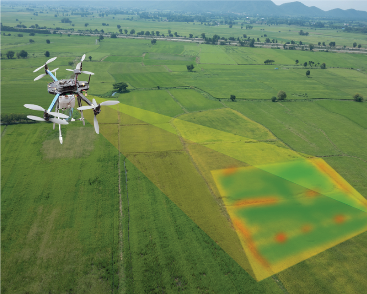
LiDAR (Light Detection and Ranging) is a cutting-edge remote sensing technology that uses laser pulses to capture detailed topographic data in 3D. It creates a point cloud, a high-density dataset of geo-referenced coordinates that reflect the physical terrain.
How It Works:
- A LiDAR sensor emits rapid laser pulses toward the ground
- The time taken for the pulses to bounce back is recorded
- The system converts the data into a 3D model of the terrain
LiDAR can be deployed via drones, aircraft, or mobile survey vehicles—making it suitable for difficult terrains, dense vegetation, or large areas.
Advantages:
- Rapid coverage of large areas
- Effective in dense vegetation and rugged terrain
- Delivers high-resolution 3D models
- Requires minimal on-site manpower
Limitations:
- Higher upfront cost (equipment and processing)
- Not legally accepted for boundary certification in all regions
LiDAR vs Traditional Survey: Side-by-Side Comparison
| Feature | LiDAR Survey | Traditional Survey |
| Speed | Rapid data collection | Manual and slower |
| Accuracy | Excellent for terrain & models | Superior in legal boundaries |
| Terrain Suitability | Ideal for rugged/ forested areas | Best for flat, accessible land |
| Vegetation Penetration | Penetrates canopy cover | Limited Visibility |
| Cost | Higher initial cost | Lower for small projects |
| Legal Validity | Varies by region | Fully compliant |
| On-ground Effect | Minimal personnel needed | Requires full team deployment |
Read the related post Lidar Vs Photogrammetry
When to Use LiDAR Surveying?
Choose LiDAR When:
- You need to map large or inaccessible land areas (e.g over 100 acres)
- The terrain is forested, mountainous, or post-disaster
- You require 3D terrain models for design, BIM, or GIS
- The project demands speed and data density
Industries Benefiting from LiDAR:
- Highway and Railway Construction: Enables precise terrain modelling, slope assessment, and drainage planning over long corridors.
- Urban Infrastructure and Smart Cities: Used for utilities mapping, 3D city models, and smart planning integration with GIS and BIM platforms. LiDAR helps optimise traffic flow, plan utilities, and modernise infrastructure in dense urban settings.
- Forest and Environmental Mapping: LiDAR maps elevation under forest canopies, enabling biomass estimation and ecological planning.
- Mining and Resource Management: Supports pit volume calculation, site planning, erosion tracking, and regulatory compliance.
When to Use Traditional Land Surveying?
Choose traditional methods when:
- You need legal documentation and certification
- Working on small residential or commercial plots
- Direct landowner interaction is required
- Regulatory bodies demand signed boundary maps
Read the related post Why is it important to perform a document verification survey before buying a Property
Common Applications
- Real Estate Transactions
- Government Plot Allotments
- Construction Layout and Staking
- Land Subdivision Planning
- Boundary Dispute Resolution
- Agricultural Land Classification
Cost Analysis: Which One is More Economical?
| Survey Type | Approx. Cost (India) | Best Use Case |
| LiDAR Survey | ₹ 10,000 – ₹50,000 per acre | Large area mapping, terrain modelling |
| Traditional Survey | ₹ 2,000 – ₹10,000 per acre | Small plots, legal boundary marking |
Pro Insight: Though LiDAR costs more initially, its time savings and data richness make it more economical for complex, large-scale projects.
Future of Surveying: Hybrid Approach
The future lies in combining both methods:
- Use LiDAR for terrain, contours, and 3D modelling
- Use Traditional surveys for legal documentation
This integrated model enhances:
- Data accuracy
- Legal compliance
- Design flexibility
Emerging Trends in Surveying:
- Drone-based LiDAR scanning
- Integration with BIM and GIS
- Real-time data streaming for decision-making
- AI-powered survey data interpretation
Read Related blog post The impact of Drone in land surveying Industry in India
Checklist: Choosing the Right Survey Method
Before choosing a method, ask yourself:
- What is the land size and terrain type?
- Do I need legal certification?
- How tight is the project timeline?
- Will this data integrate with design software (GIS/BIM)?
- Is the area urban or remote?
If your answers point to scale, speed, or 3D data, go with LiDAR.
If it’s legal approval, smaller plot, or boundary marking, go traditional.
FAQs: Quick Answers Before You Decide
Q1: Is LiDAR more accurate than traditional surveys?
LiDAR excels in topography and 3D modelling, while traditional surveys are more accurate for legal boundaries.
Q2: Can LiDAR replace legal land surveys?
No. In most jurisdictions, only licensed surveyors using traditional methods can issue legally valid documents.
Q3: How fast is a LiDAR survey compared to traditional?
LiDAR can complete a 100-acre survey in a day. Traditional methods may take several days or weeks depending on terrain and access.
Conclusion
There’s no one-size-fits-all answer.
- LiDAR brings speed, scale, and innovation
- Traditional surveys bring legal clarity and certified precision
Many modern projects benefit from a hybrid approach—and that’s exactly what RVS Land Surveyors offers.
Need Help Choosing the Right Survey Method?
RVS Land Surveyors provides tailored solutions with:
- Drone-based LiDAR mapping
- DGPS and Total Station surveys
- BIM/GIS integration
- Legal boundary Verification
Schedule a free consultation today to find the right method for your land or infrastructure project.


