Introduction
In India’s rapidly transforming construction landscape, the demand for accuracy, speed, and collaboration has never been higher. Enter Building Information Modeling (BIM)—a game-changing approach that’s revolutionizing how buildings are designed, constructed, and maintained. But what powers BIM at its foundation? The answer is precise land surveying.
At RVS Land Surveyors, we recognize the critical synergy between land surveying and BIM. With our advanced technologies like 360° VR scanning (Matterport Pro3) and Scan-to-BIM workflows, we’re redefining how architects, engineers, and builders across India plan and execute projects. This blog explores the importance of land surveying in BIM, how the AEC industry benefits, and how we are at the forefront of this innovation.
What is BIM and Why Does It Matter in Construction?
Building Information Modeling (BIM) is more than just a 3D model—it’s a collaborative digital process that brings architectural, structural, MEP, and operational data into one comprehensive environment. It’s used throughout the building lifecycle: from design and construction to operation and renovation.
BIM has evolved to include:
- 3D – Geometry
- 4D – Time (Construction Phasing)
- 5D – Cost Estimation
- 6D – Sustainability
- 7D – Facility Management
Without accurate spatial and dimensional data at the outset, even the most advanced BIM model is just a sophisticated guess. That’s where land surveying becomes the linchpin.
The Critical Role of Land Surveying in BIM
1. Foundation of Accurate BIM Models
Land surveying provides the geospatial accuracy needed for reliable BIM implementation. Whether it’s a greenfield site or a renovation of an existing structure, topographic surveys, contour mapping, and boundary data anchor the model in real-world coordinates.
2. Enabling Scan-to-BIM for As-Built Modeling
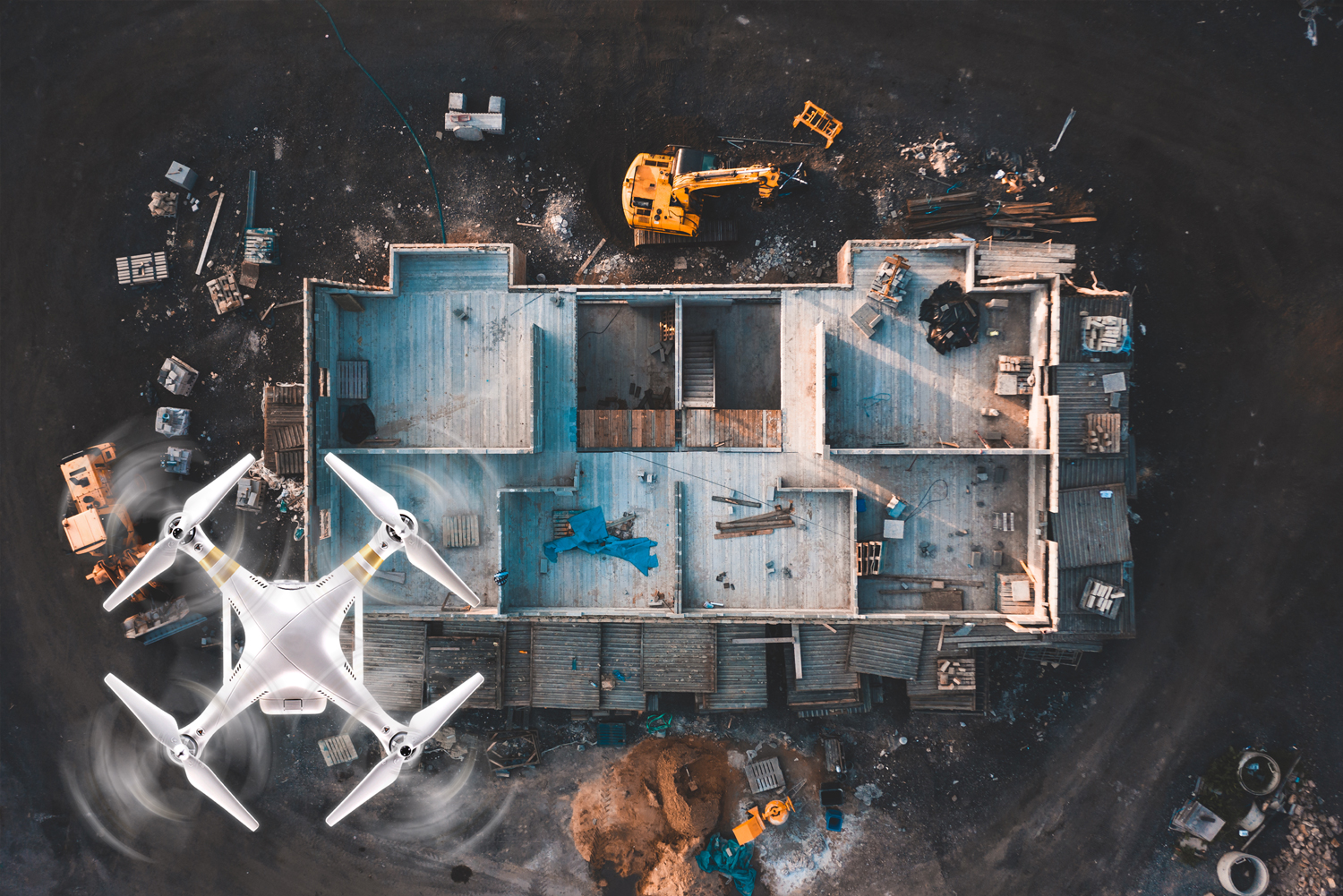
Using tools like Matterport Pro3, RVS Land Surveyors captures rich point cloud data through 360-degree laser scanning. This data is then converted into precise BIM-ready models, capturing every detail of the existing environment.
3. Improving Clash Detection and Planning
Accurate surveys ensure that the base model aligns with the real-world terrain and structural context. This allows architects and engineers to perform reliable clash detection, avoiding costly design conflicts before construction begins.
4. Supporting Lifecycle Asset Management
Survey data embedded in BIM models supports facility managers in tracking assets, performing maintenance, and planning renovations—making it valuable far beyond the construction phase.
Advantages of BIM for AEC Professionals in India
1. Enhanced Design Visualization
With BIM, stakeholders can walk through the project virtually before a single brick is laid. VR walkthroughs powered by tools like Matterport create an immersive experience for clients and consultants alike.
2. Faster Decision-Making
Integrated models enable real-time collaboration across disciplines, reducing delays in approvals and improving coordination.
3. Reduced Rework and Construction Errors
Design errors caught in the digital model don’t translate into expensive on-site corrections. BIM models driven by accurate survey data significantly reduce rework and waste.
4. Regulatory Compliance and Documentation
BIM makes it easier to demonstrate compliance with environmental, zoning, and safety regulations—especially when survey data is integrated from day one.
5. Sustainable Design and Smart Planning
By modeling sunlight, wind flow, and topography, BIM allows architects to plan energy-efficient buildings suited to India’s varied climates.
BIM in India: Exciting Application, Growing Demand, Evolving Standards
Nagpur Metro Rail Project – Integration of Drone Surveying with 5D BIM
Application: The Nagpur Metro Rail Project utilized drones to conduct detailed surveys along the metro corridor. The data collected was integrated into a 5D BIM model, which includes 3D design, time (4D), and cost (5D) dimensions. This integration facilitated efficient project planning, clash detection, and real-time project monitoring.
India’s National BIM mandate for infrastructure projects, Smart Cities Mission, and rapid urban expansion are fueling BIM adoption. However, lack of trained professionals and accurate site data often hinder its effective implementation.
RVS Land Surveyors bridges this gap with on-ground expertise and digital innovation.
How RVS Land Surveyors Supports BIM Projects
1. We Start with Precision
Every BIM journey begins with a comprehensive land survey. We use:
- Total Stations & DGPS
- UAV-based aerial surveys
- LIDAR & 3D Laser Scanning
- Reality Capture with Matterport Pro3
2. 360° Scan-to-BIM Integration
Our team captures as-built conditions with laser scanning and transforms them into Revit-compatible BIM models. Ideal for retrofit and renovation projects.
3. VR-Enabled Visualization
Using Matterport and Kuula, we generate immersive VR walkthroughs that bring your design to life for clients, consultants, and authorities.
4. Collaborative Project Delivery
We work directly with architects, structural consultants, and MEP teams to ensure flawless data sharing, helping reduce turnaround time and boosting project efficiency.
Real-World Use Cases
Case 1: Scan-to-BIM for Commercial Office Space Renovation
We scanned a 15,000 sq. ft. Commercial office space using Matterport Pro3, delivering a Revit-based BIM model for structural and interior renovation planning—reducing design conflicts by 40%.
Case 2: Topographic + BIM for Hillside Resort Renovation
The hillside resort project, One of our largest scan (3000 Matterport scan points) projects and we combined drone topographic data with BIM modeling to complete the renovation of the property to change the aesthetic and improve site design accuracy.
Why Choose RVS Land Surveyors?
- 15+ Years of Experience in the Indian AEC market
- Early adopters of Matterport Pro3 & Scan-to-BIM
- In-house GIS, BIM, and VR experts
- Proven track record of on-time, accurate BIM deliverables
- We speak the language of architects and engineers
Conclusion
The future of smart, sustainable construction in India depends on the synergy between land surveying and BIM. At RVS Land Surveyors, we don’t just deliver site data—we deliver digital foundations for the future of construction. By integrating high-precision surveying with immersive VR-enabled BIM workflows, we’re helping India’s AEC professionals design, build, and manage with confidence.
If you’re an architect, builder, or developer looking to future-proof your project, let’s talk BIM.